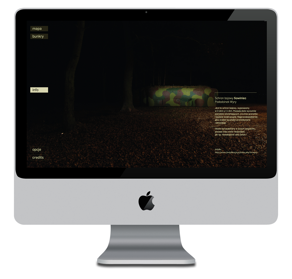
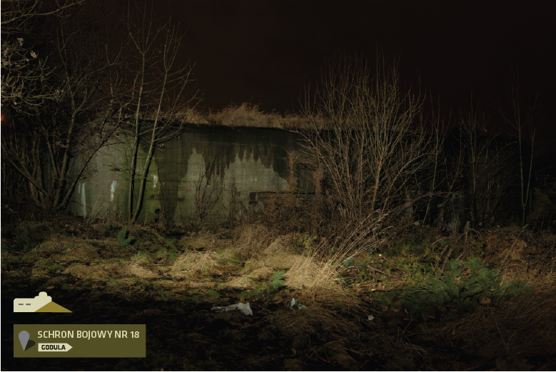
My project is an attempt at creating a unique interactive documentary website about the Fortified Area of Silesia. This little known relic of the II world war is spread along 60 km from the locality of Przeczyce in the north to Wyry in the south. It was a complex of fixed and field fortifications supplemented with other buildings (approx. 180 buildings in all). Today, more that 60 years after the construction of the fortified line, only the aboveground parts of the bunkers have survived. Their intended enemy-resistance and time-resistance weakens – most of them are wild dumps. The devastation has intensified in the last few years. This may be the last moment to catalogue and document what is left.
Project consitst of map (of the bunkers), website idea and photo labels.