The Middle Land
A memoir of my travels

A mind map showing all the Areas of Interest when starting out the project.
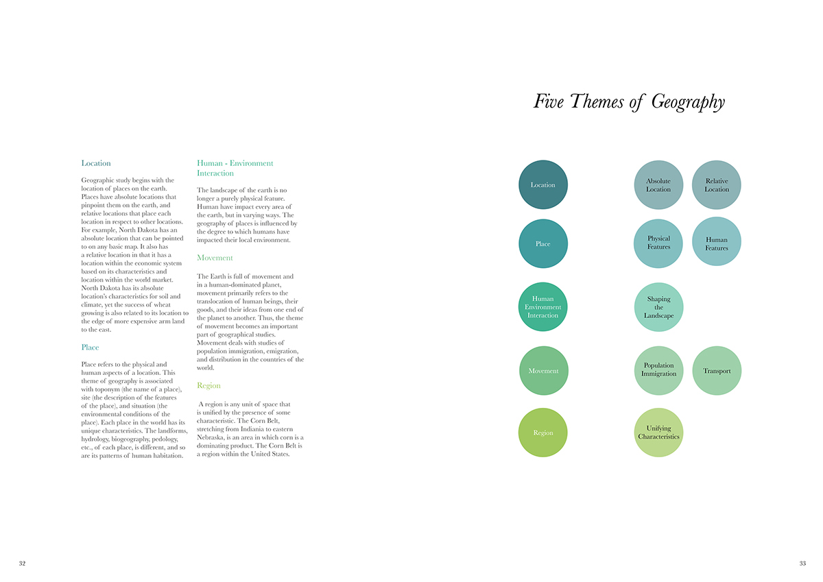
It was when the Five themes of Geography, came into the picture, I went ahead with this idea and concentrated on the five themes of geography. By now, I had also changed my outcome from map-making to a memoir of my travels or more like a travelogue. I ended up on the idea of concentrating on human territory relationship, showcasing all the five themes of geography, which have been talked about earlier. I mind mapped how the research of geography as a subject, helped me connect my project. Since my project was getting divided into regions, and I was seeing the differences between terms such as landforms, terrain which in turn affect your identity as a person. This is where humans’ relationship with territory plays a role. I wanted to showcase through my project a relationship of us humans with our land, but highlighting different landforms of the place.
My interest in terrain goes back to 10th standard, when geography had topographical maps as a part the syllabus. I always enjoyed working with maps, and reading maps. Maps tell a story through symbols we have to know how to read. I was extremely fascinated by the visual language of maps and hence, decided to use symbols and the style of maps in my project. Here I had to find a middle ground between illustration and map- making symbols. Some symbols are picked up from the topography sheet figures and symbols, whereas some of them are picked up from various other cartography websites. Over the centuries, map making techniques have changed and evolved. Every place has there own cartography methods. Some of them I came across were Latvian cartography symbols that were interesting. Although nobody here knows how to read these symbols, I chose to use the ones, which were expressive as symbols themselves, and the basic ones used in topographical maps. Contour lines, hachure, although not shown here, but have been used.

A few of the Illustrations which were drawn for the places chosen during the journey respectively.

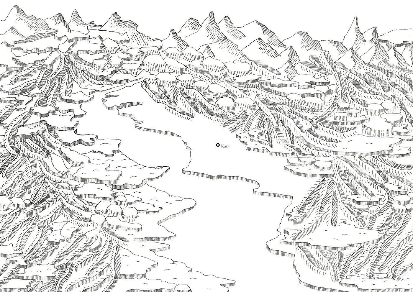
Kaza (subdivisional headquarters of the Spiti Valley) marked in the valley drawn here.

Forest Research Institute, Dehradun

Entering Shimla, in the night.

Aerial view of Dehradun.
Some of the spreads displayed here, from my final Book.


The Final Product