BLANK MAPS
La Lettura #132 - Corriere della Sera
The initial concept of the project was to represent the cities examined as if they were 'Blank Maps' , ie making sure that the shapes emerged showing only the predominant colours of the photos taken by locals and tourists.
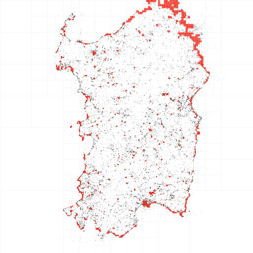
First extraction and data visualization tests made with Processing showed interesting results: for example, in the map of Venice you can see how spontaneously and distinctly the shape of Grand Canal emerge, thanks to pictures whereas taken, as well as in Sardinia's one are to be outlined perfectly the coasts, since most of the pictures are taken on the coast and not inland.
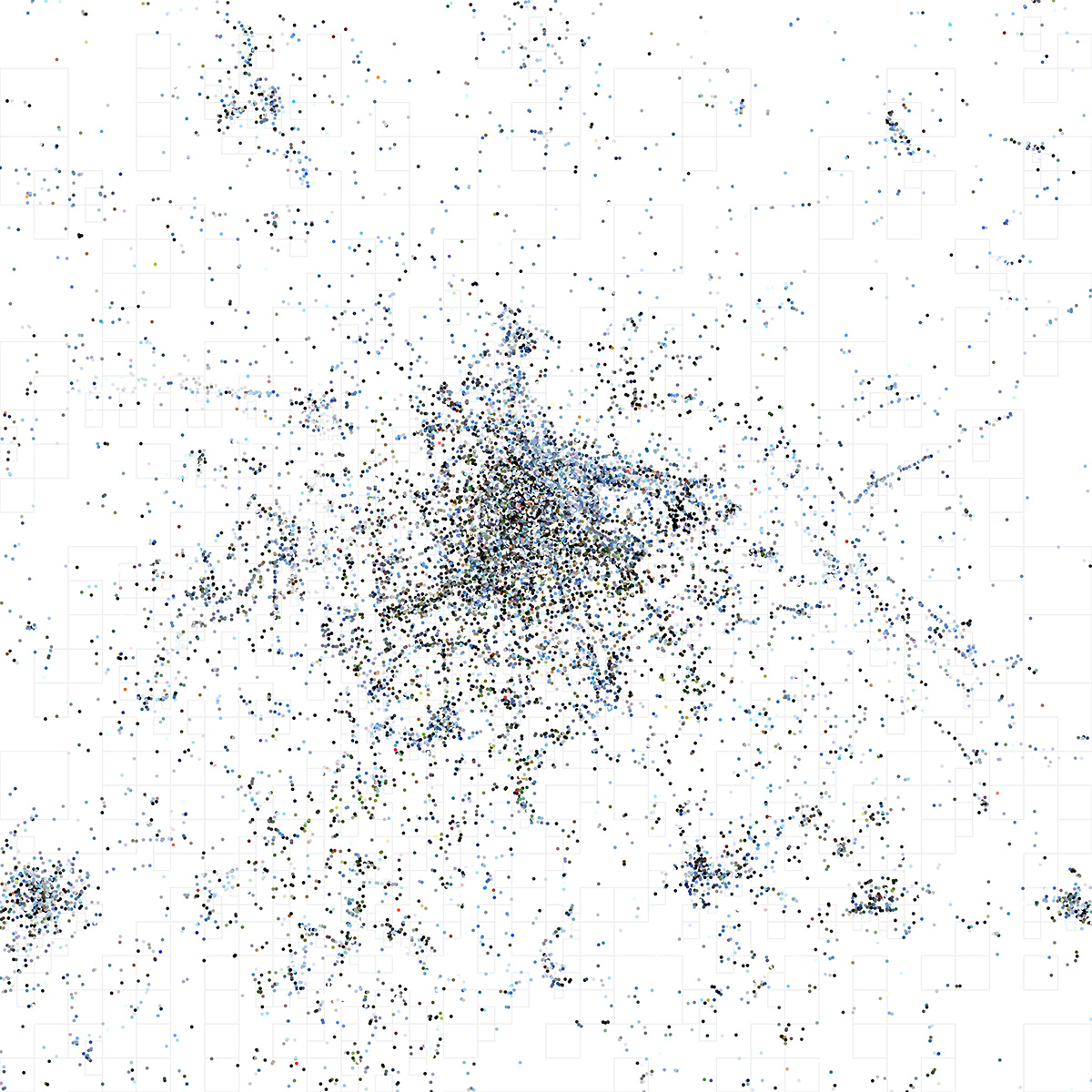
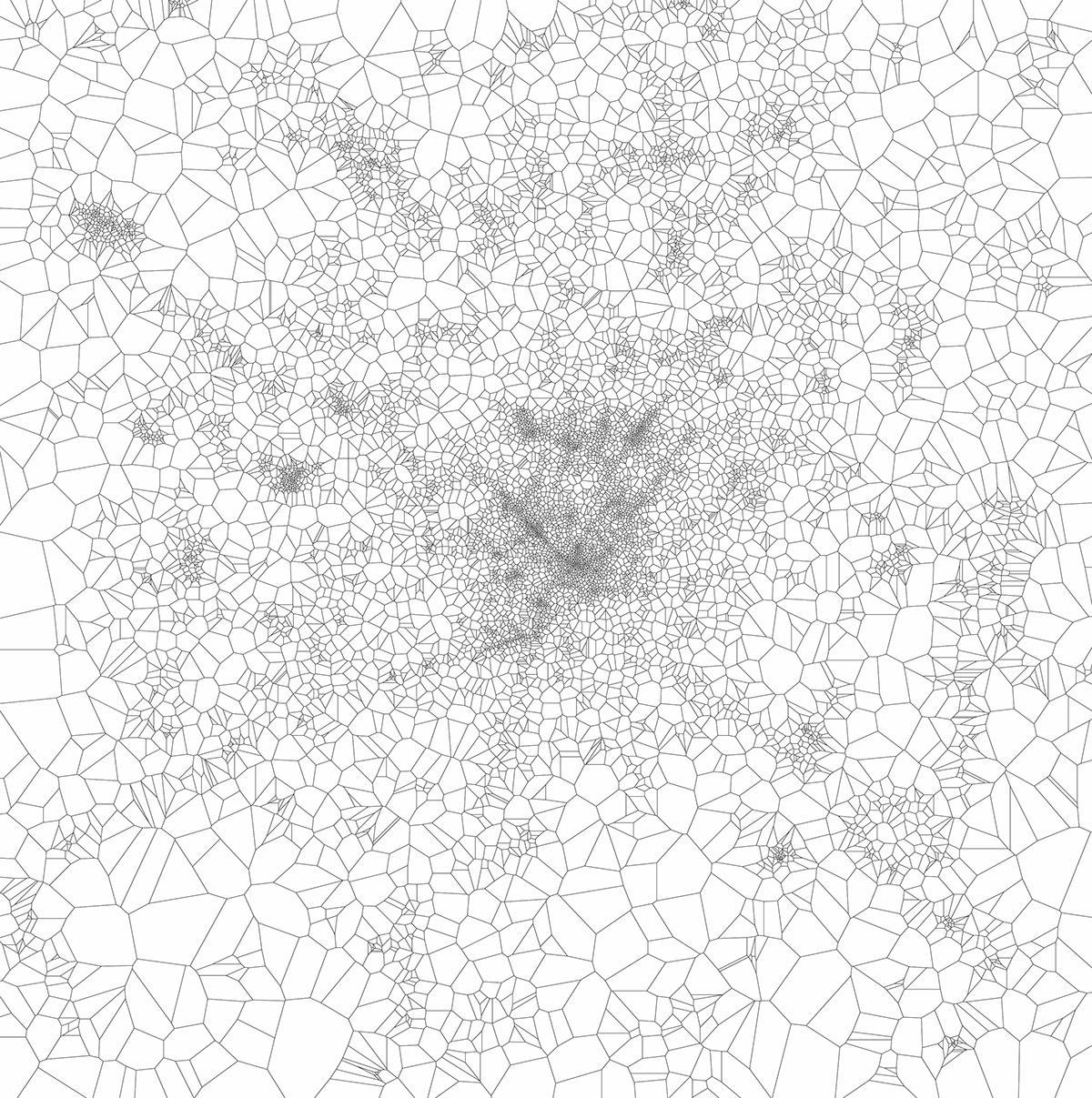
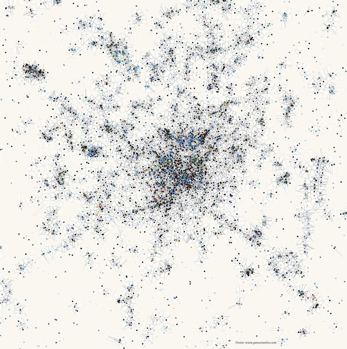
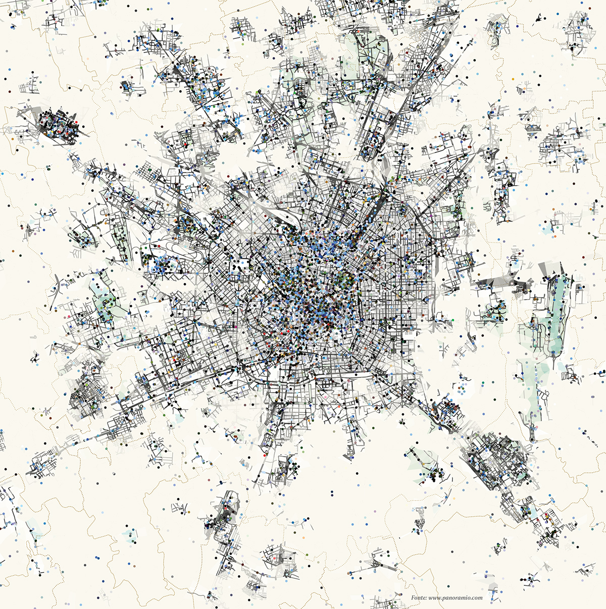
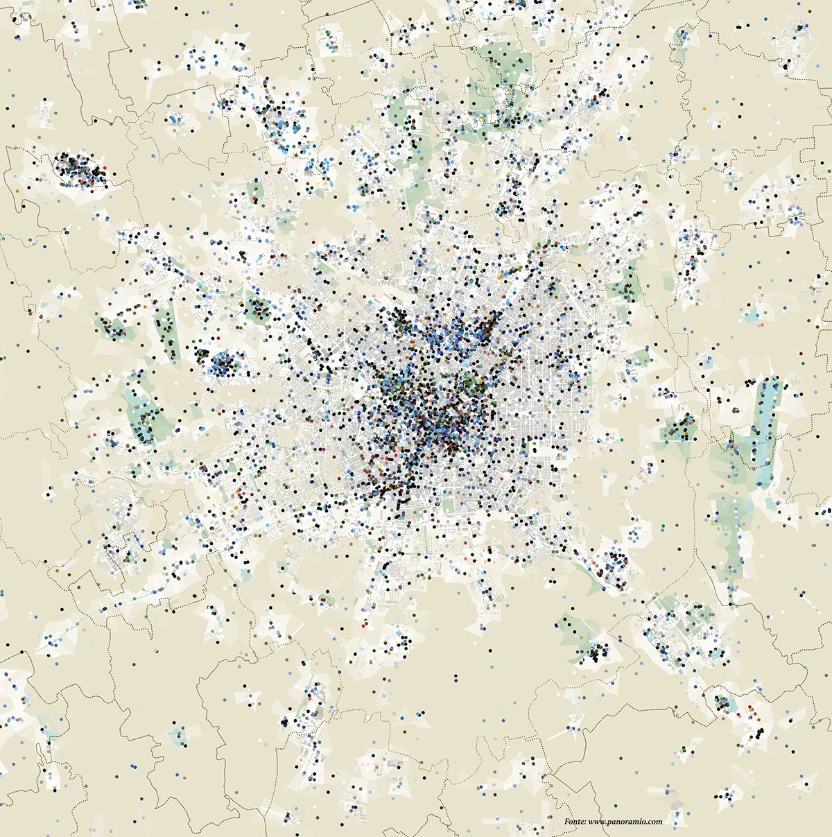
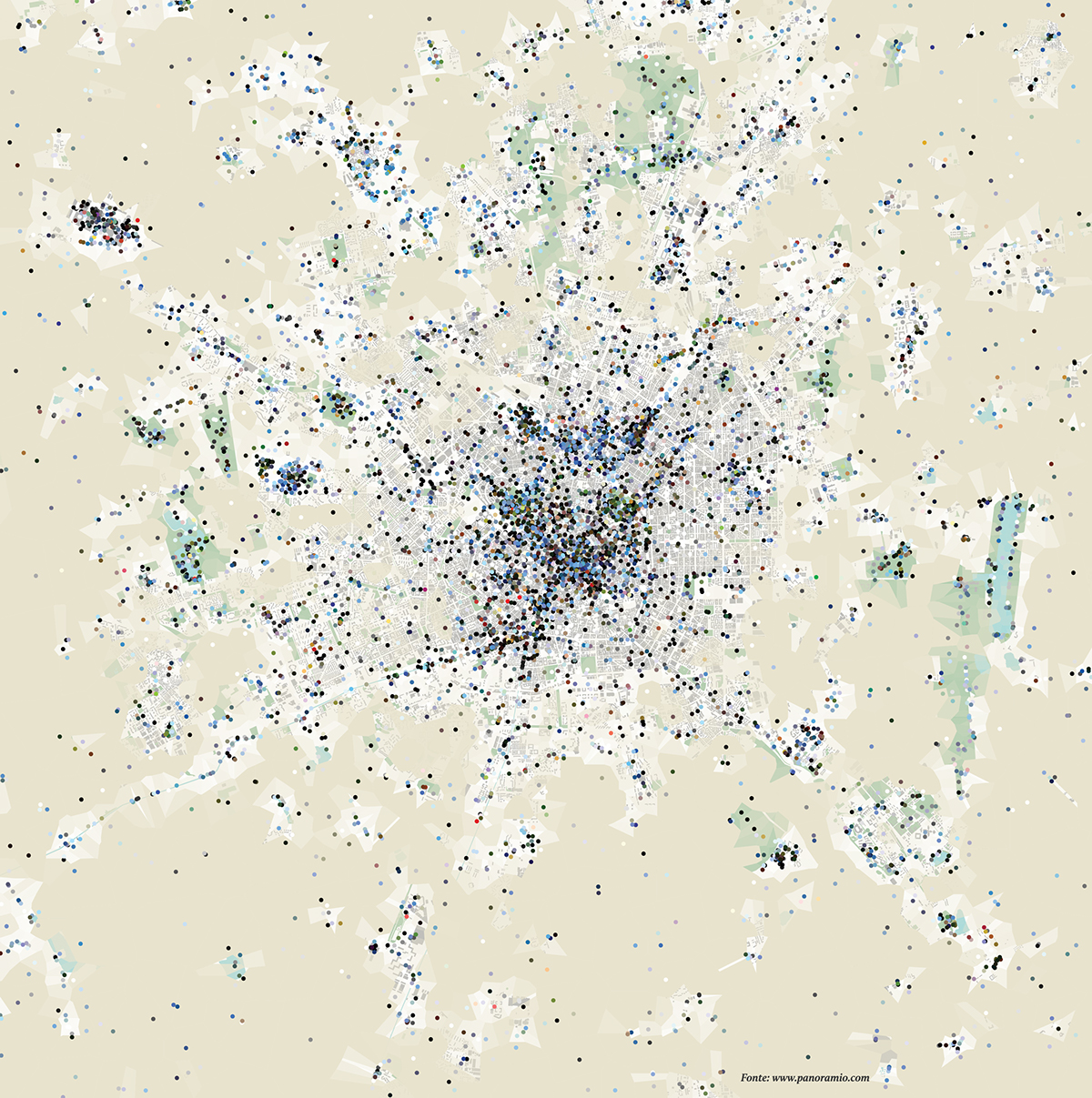
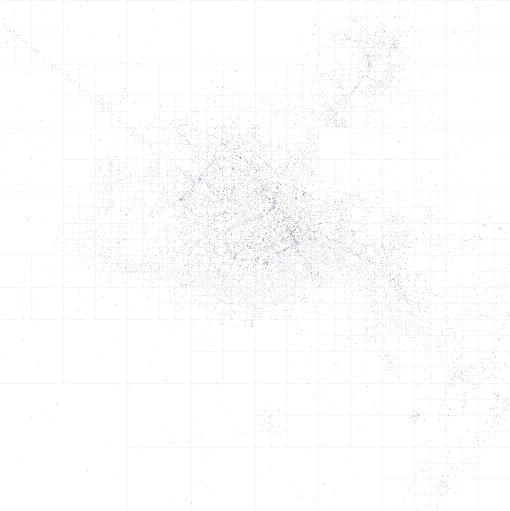
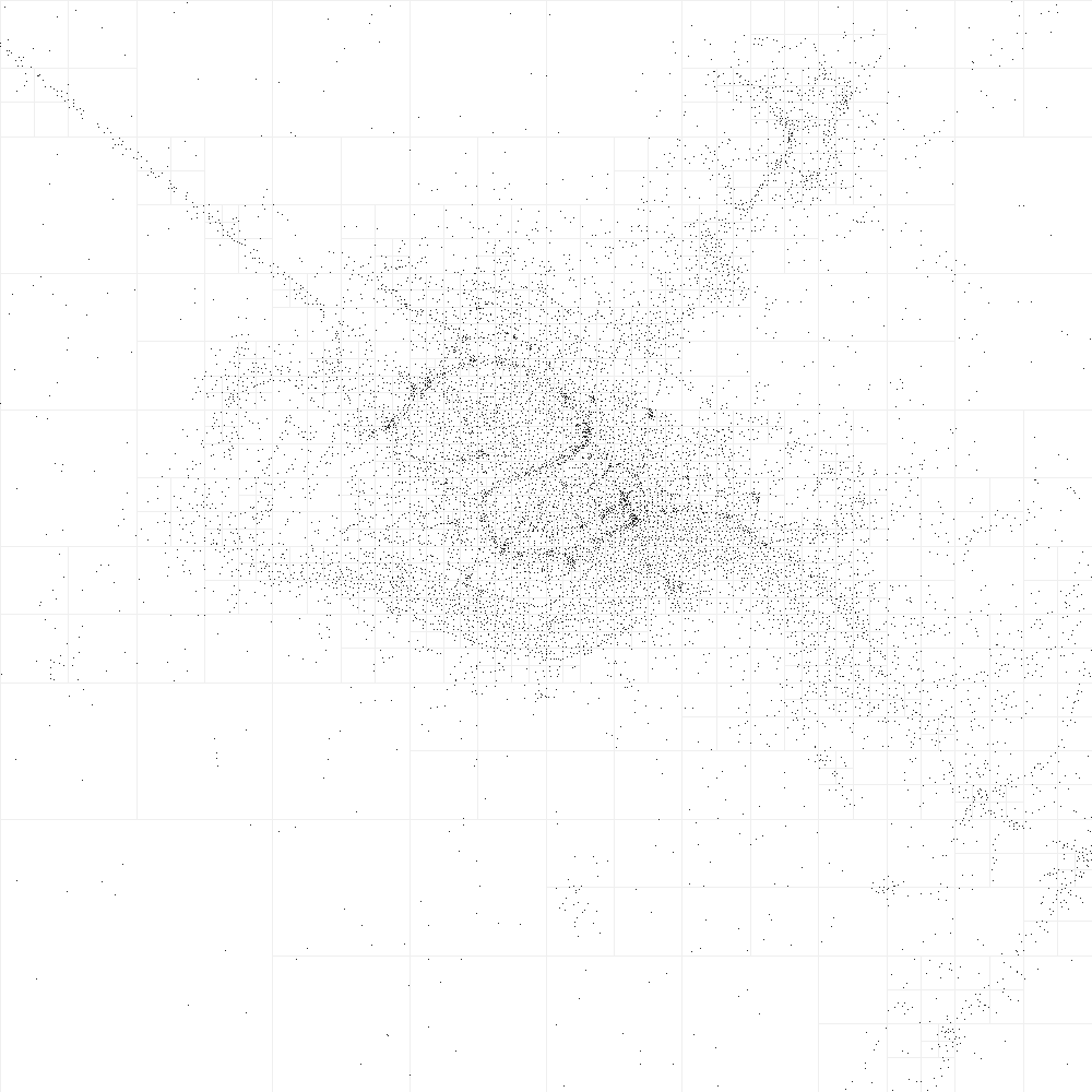
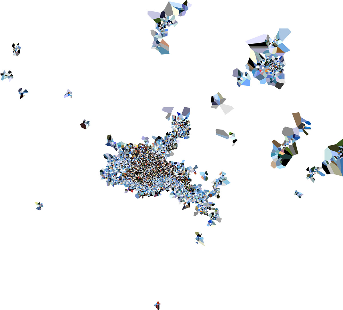
After visualizing the information on the position and the predominant colour of the photos in the Milan area, we tried to apply the Voronoi Diagram: the result, although very interesting, made the comparison among the actual locations of the city difficult.
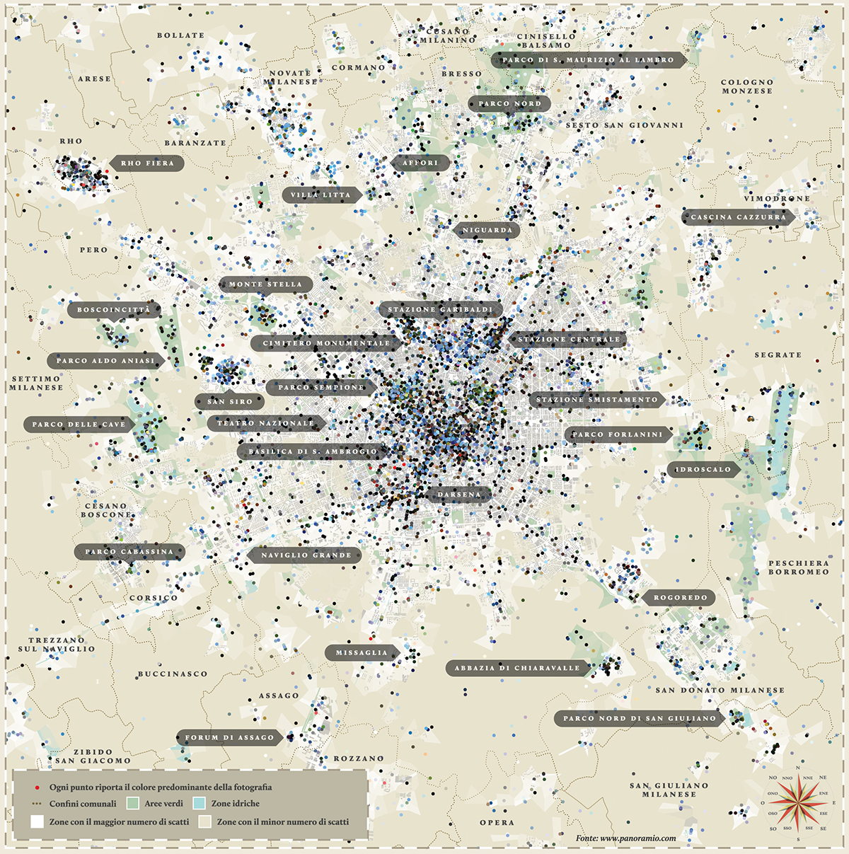
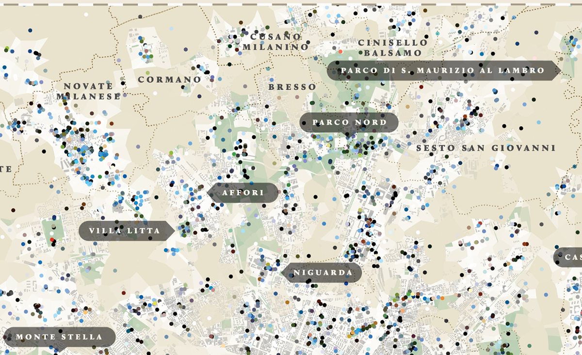
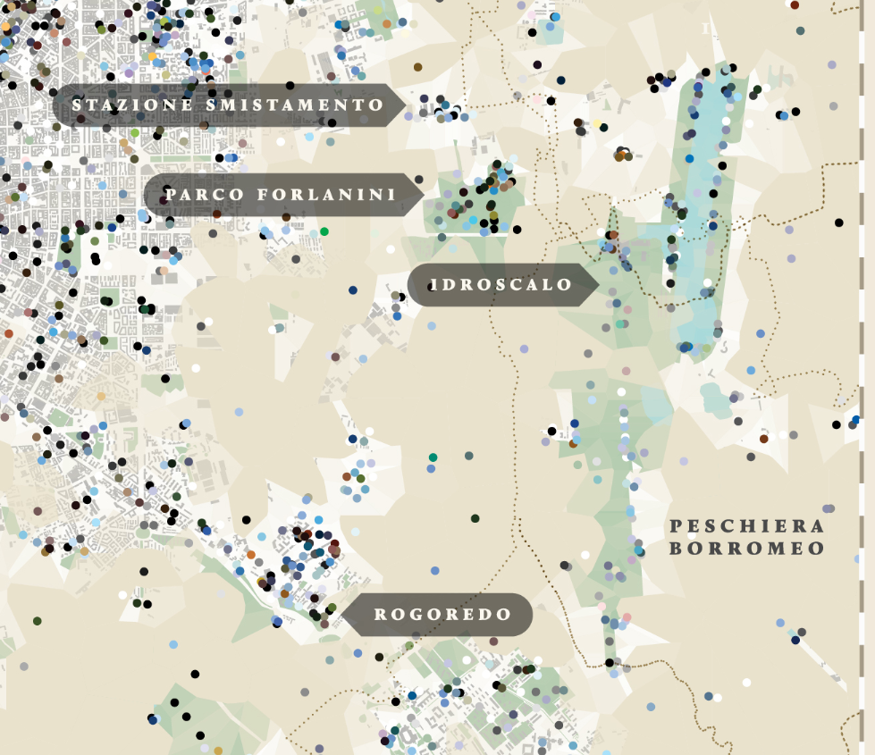
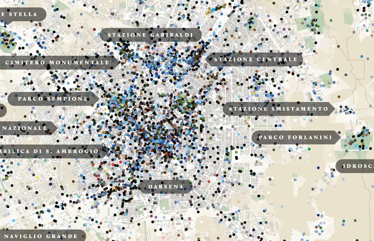
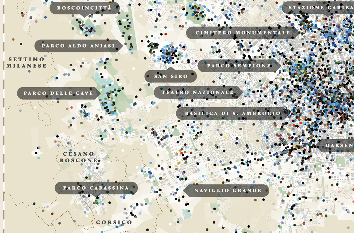
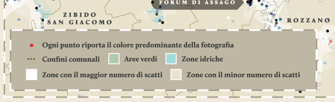
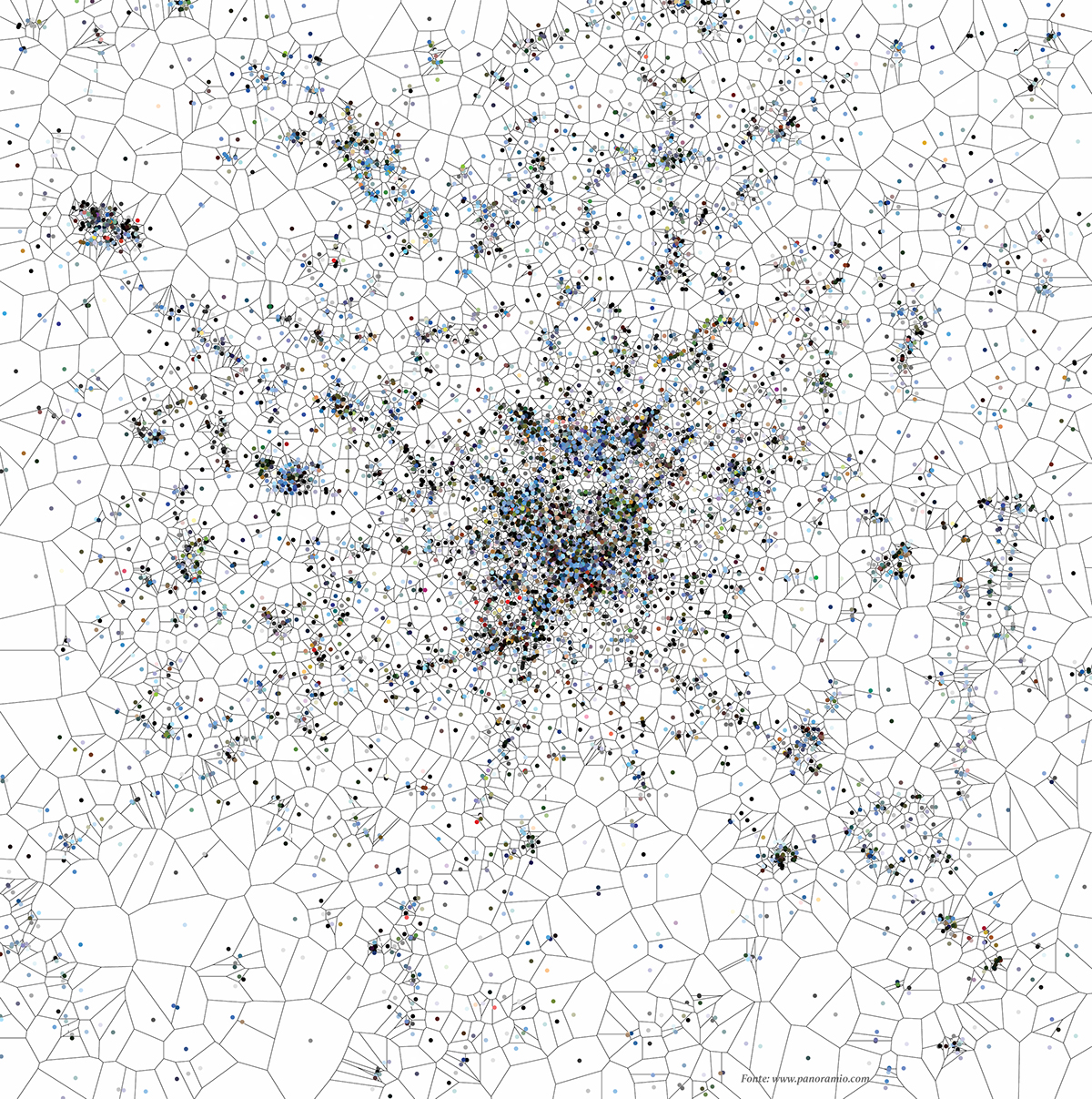
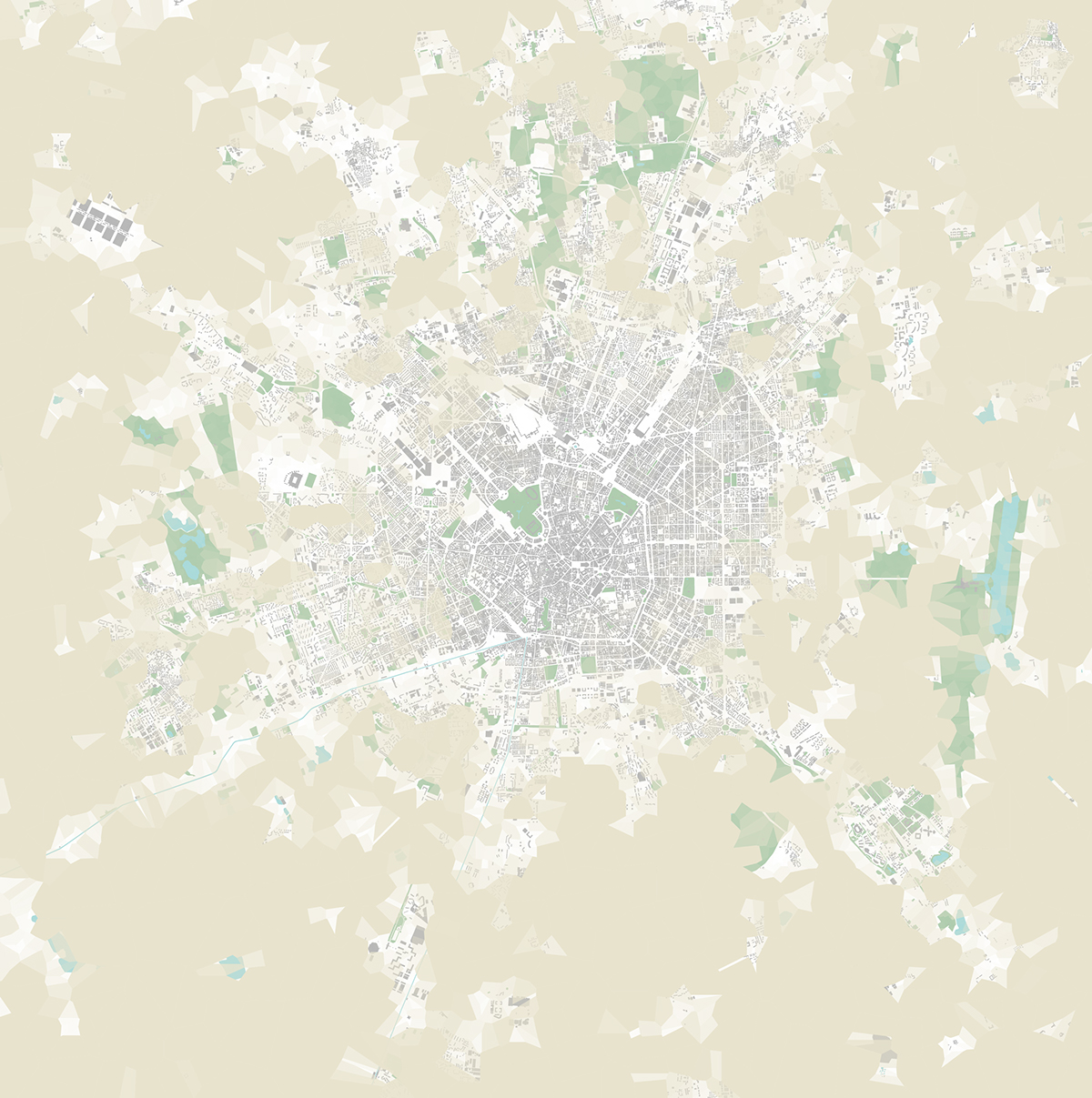
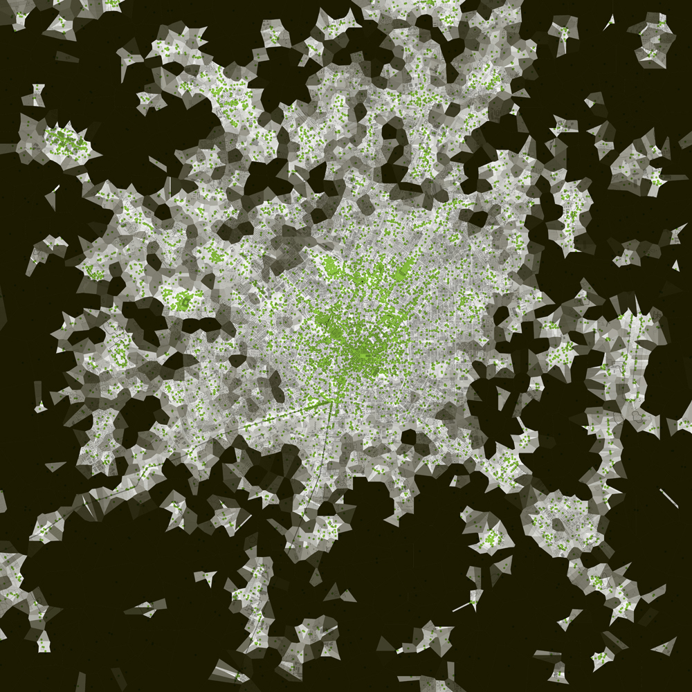
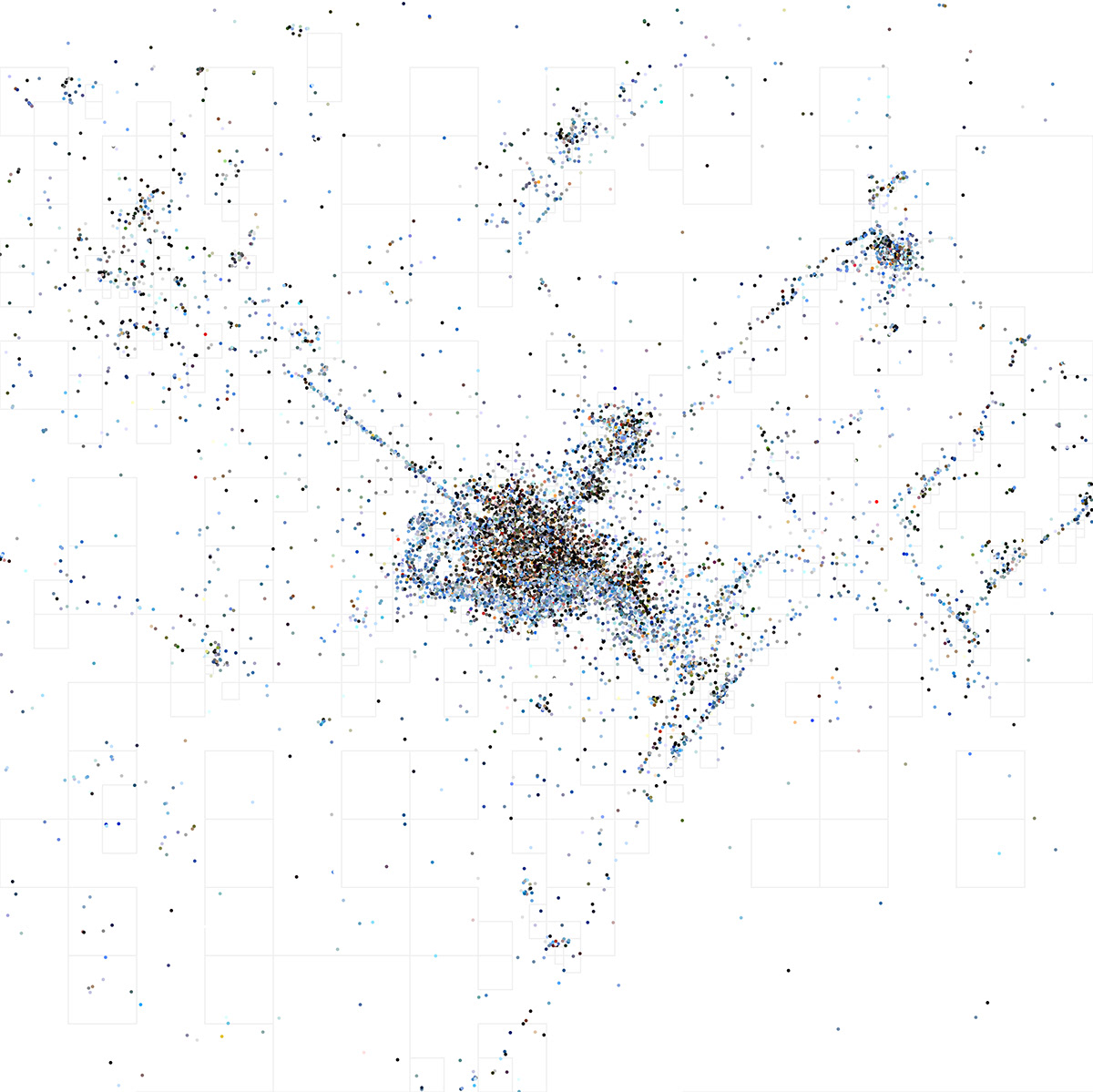
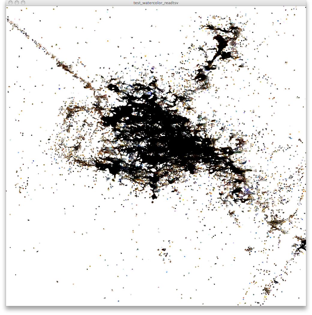
We therefore decided to apply the Voronoi diagram to the map of Milan which so far consists only of a purely geographic level and of another level with geolocated spots of color, associating to the Voronoi diagram a vaIue of maximum transparency to areas with more photos and minimum to those with less, a map emerges that shows the glimpses of the city when it is photographed the most (areas with white background).
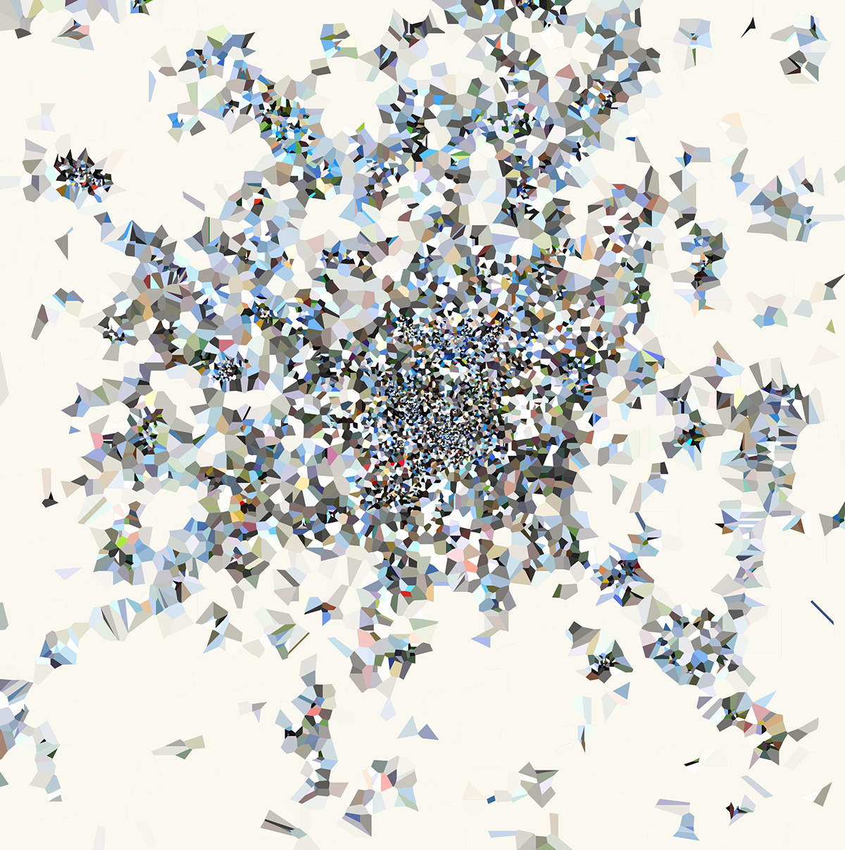
The most photographed areas are parks and stations, and usually near parks and water areas there is a clear predominance of green and blue, as well as within the cities dark colors take over, mainly due in buildings, ground and shades.
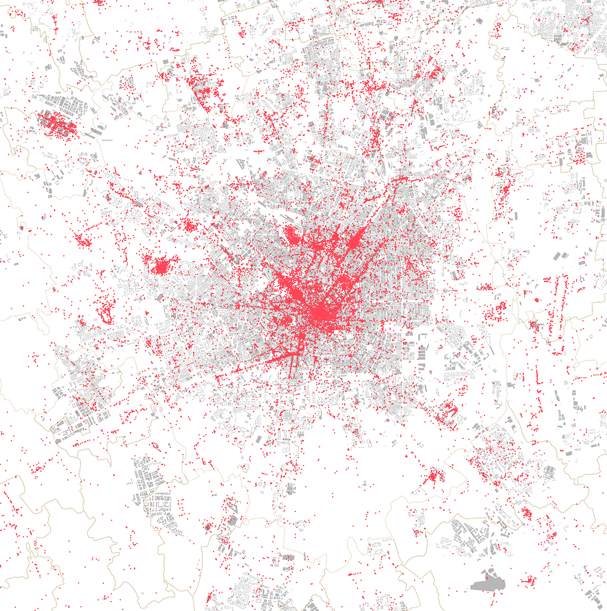
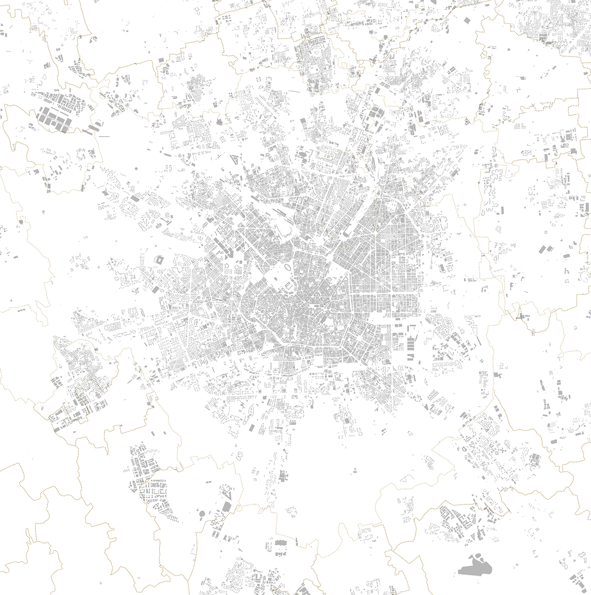
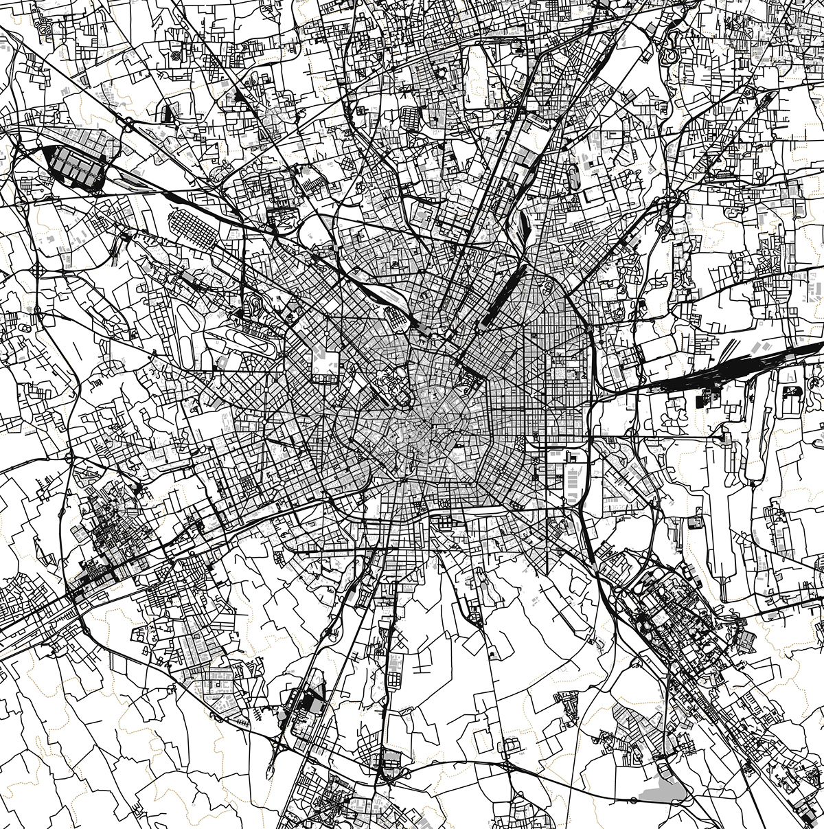
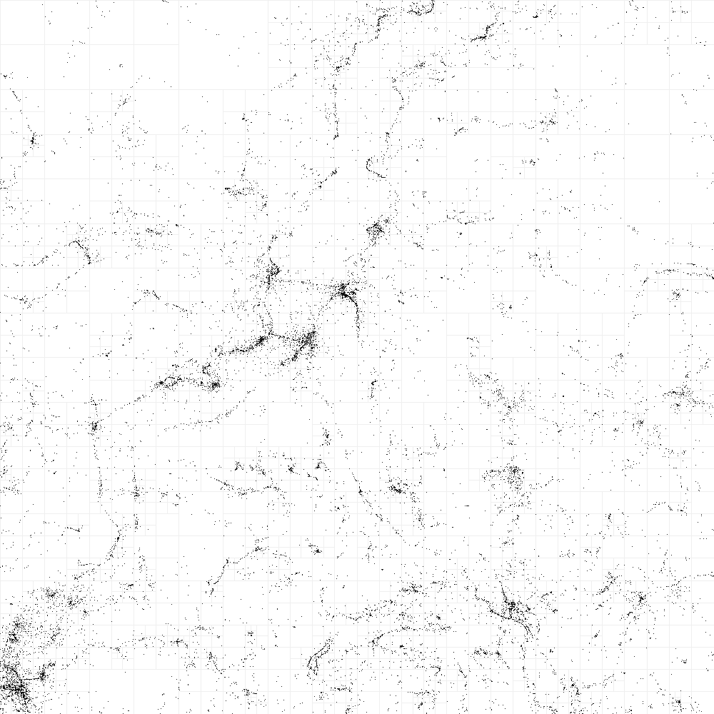
Underlying map data (bulidings, roads and parks) comes from OpenStreetMap.

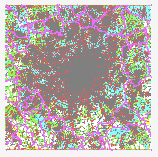
Voronoi Diagram of Milan (outline)
Voronoi Diagram of Milan (coloured version)
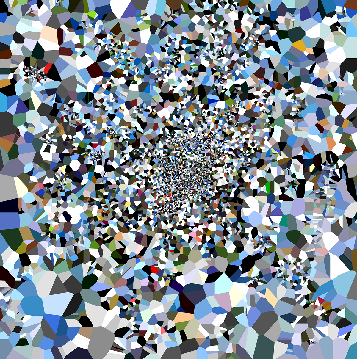
Voronoi Diagram with colours
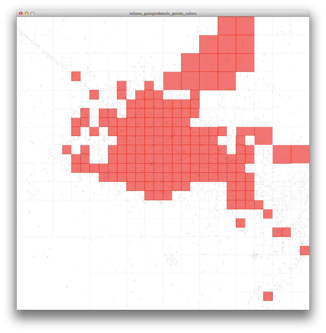
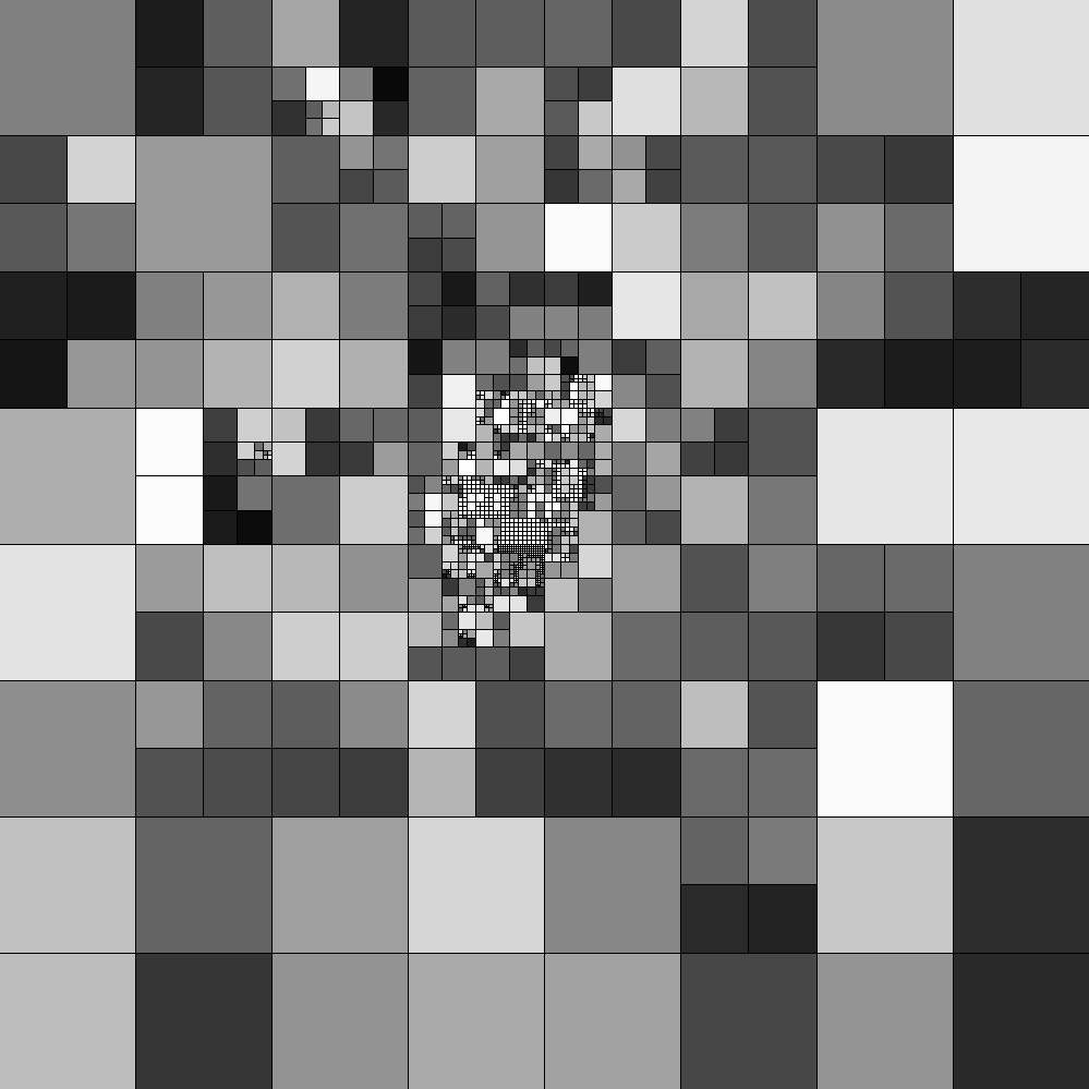
Quantitative approach
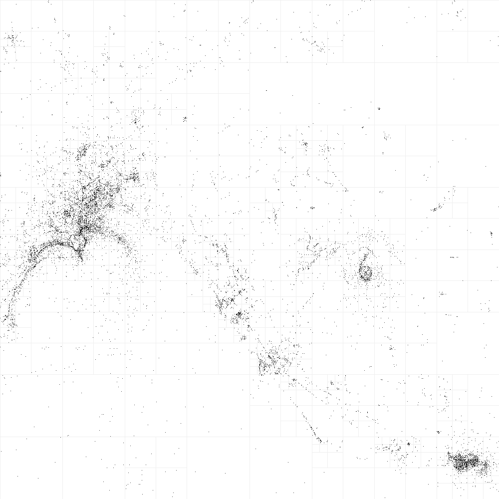
Map of Milan (only buildings)
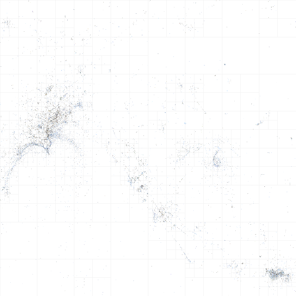
Map of Milan with colours and Voronoi Diagram as alpha channel
Map of Milan (only with buildings, park, water and Voronoi DIagram as alpha channel)
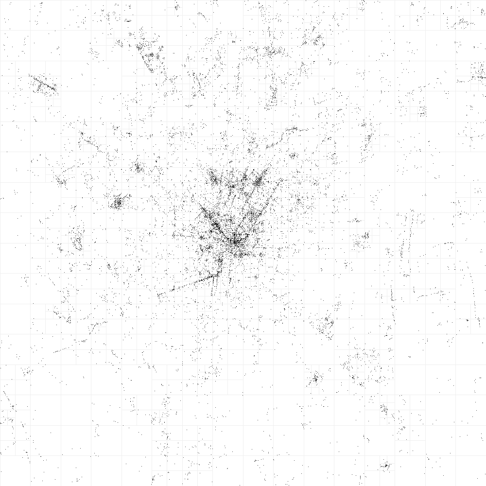
Map of Milan (only streets)
Map of Milan (only streets and Voronoi Diagram as alpha channel)

Map of Milan (only streets, Voronoi Diagram as alpha channel, colours and municipal boundaries)
Tests with Processing

Map of Venice (test)
Map of Venice (tests with different paintbrushes)


Voronoi DIagram of Venice (test)
Map of Naples (test)
Map of Como Lake (test)
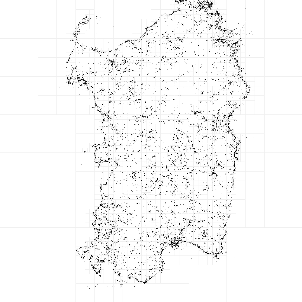
Map of Sardinia (test)
Map of Amsterdam (test)